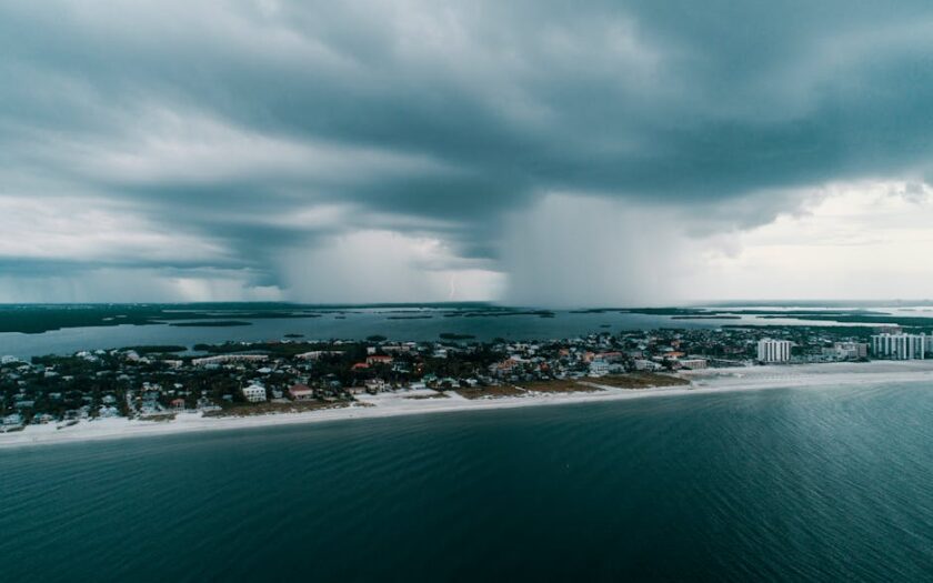
Tropical Storm Erin has formed in the eastern Atlantic Ocean, just west of the Cabo Verde Islands, as announced by the National Hurricane Center on August 11, 2025. The storm is currently moving westward at approximately 20 mph, with maximum sustained winds of 45 mph. Gradual strengthening is anticipated over the coming days, with Erin potentially becoming the first hurricane of the 2025 Atlantic season.
As of the latest advisory, Erin is located about 280 miles west-northwest of the Cabo Verde Islands. The NHC has indicated that there are no coastal watches or warnings in effect at this time. However, the storm's westward trajectory suggests it could approach the Caribbean islands toward the end of the week. Early models indicate the possibility of Erin strengthening into a major hurricane by the weekend.
While Erin is currently far from the U.S. mainland, the National Hurricane Center advises residents in the Caribbean and along the southeastern U.S. coast to monitor the storm's progress closely. The NHC will continue to provide updates as the situation develops.
In the Pacific Ocean, Hurricane Henriette has strengthened to a Category 1 storm, with maximum sustained winds of 85 mph. Located about 525 miles northwest of Honolulu, Henriette is expected to undergo additional strengthening before weakening in the coming days. Additionally, the remnants of Tropical Storm Ivo have dissipated without posing any threat to land.
As the Atlantic hurricane season progresses, it is crucial for residents in potential impact zones to stay informed through official channels and adhere to any advisories or warnings issued by local authorities.
77 People Are Viewing This News Right Now